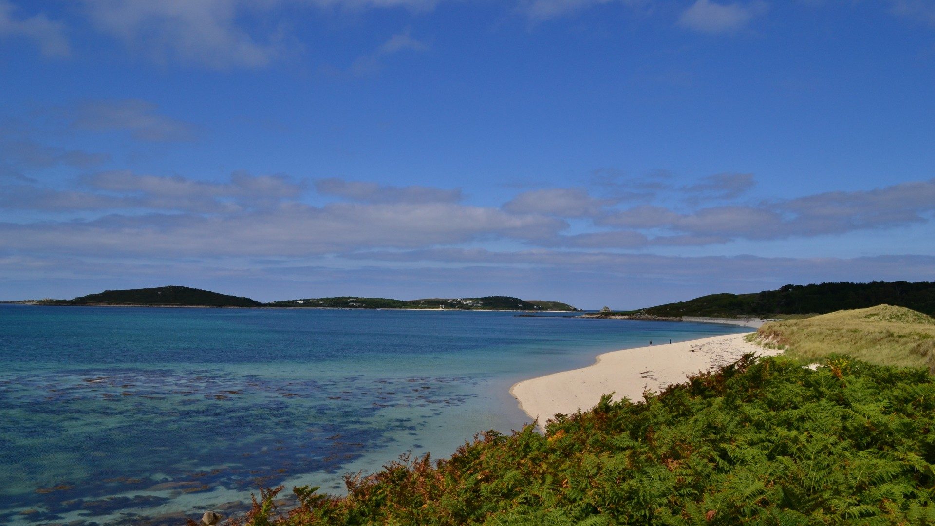
Our expertise ranges from intertidal and estuarine regions to offshore and deep-sea habitats, covering all benthic and epibenthic survey requirements
Our scientists support clients through provision of environmental surveys to collect data and samples, subsequent specialist species level identification of fauna and assessment of seabed habitats.
We use this data to assess the impacts of proposed developments and to offer strategic advice and creative mitigation solutions in complex and challenging environments.
Our services include:
- Survey design
- Subtidal and intertidal benthic faunal and sediment sampling
- Water quality and sediment sampling for chemical analyses
- Underwater video and photographic surveys and analysis of footage
- Fish surveys, including impingement and entrainment monitoring
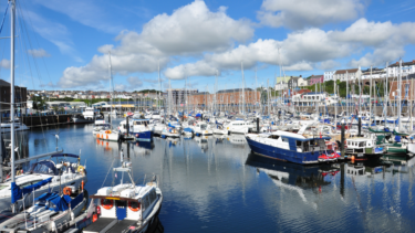
We deliver surveys in the most cost-effective manner using locally sourced vessels, in the minimum amount of time necessary.
Our team design surveys appropriate to the habitat in question, using the appropriate method, whether on foot, by boat or hovercraft. Our mobile mapping devices allow our staff to record the exact location of sample collection and associated metadata easily and reliably.
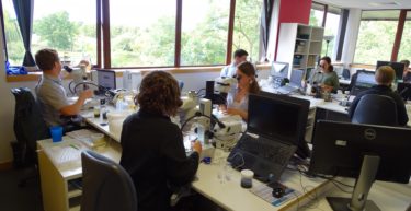
Once the survey is complete, we conduct all associated benthic taxonomy, particle size analysis, video and stills analysis, data analysis and reporting.
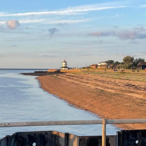
Our expertise covers habitats ranging from salt marshes, mud flats, rocky shores and sandy beaches to the deep sea. In the intertidal zone, this includes Phase 1 and Phase 2 surveys to accurately map the habitats present in the survey area. We have conducted surveys across the whole of the UK, including over 60 projects on the Thames, such as for the London Eye, Millennium Dome, Millennium Bridge and Tate Modern.
