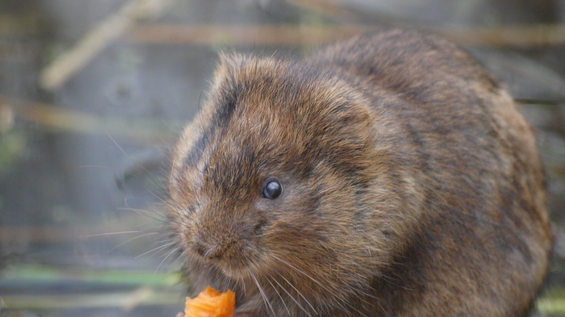
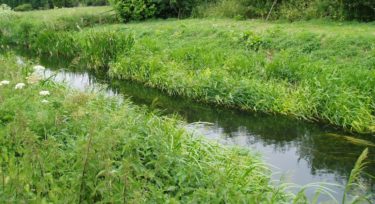
Any watercourse within a proposed development site should be assessed for its potential to support water voles.
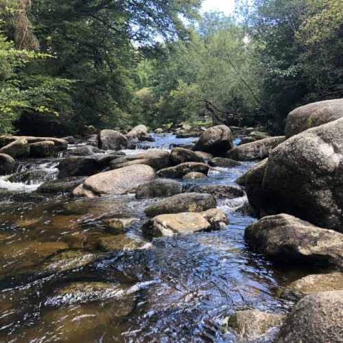
A habitat suitability assessment is made, recording and mapping key features such as bank material, amount and type of marginal vegetation, amount of shading from trees, waterbody depth and width, flow velocity, channel substrate and presence of pollution and disturbance.
A systematic search for characteristic water vole field signs is undertaken upstream and downstream of the immediate development footprint and up to at least 2m from the banks. Evidence of water voles include droppings, latrines (discrete piles of droppings), burrows, runs in vegetation, signs of feeding, footprints, above ground nests and grazed lawns in front of burrow entrances.
From these two sets of information it is possible to estimate the actual and possible numbers of water voles that are present along the watercourse.
Water vole surveys can be undertaken between mid-April and September. Two survey visits should be undertaken: one from mid-April to June and one from July to September.
Our water vole surveys and mitigation strategies are guided by best practice including WildCRU’s Water Vole Conservation Handbook (Strachan et al, 2011) and Natural England Standing Advice, and our surveyors meet the competencies set out by the Chartered Institute of Ecology and Environmental Management (CIEEM). Where water voles might be affected by a development, our specialists can provide advice on suitable mitigation options and guidance on minimising ecological risk. To allow works to proceed lawfully, we can apply for the development licences necessary on your behalf.
