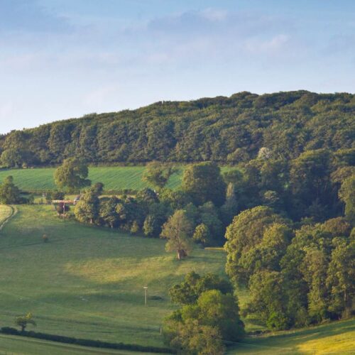
The use of Artificial Intelligence (AI) to map the location of lost heathlands could create opportunities for habitat restoration to provide new habitats for threatened heathland reptiles and birds. Reptiles such as the sand lizard, adder, slowworm, grass snake and common lizard and the rare smooth snake, share our heathlands with amphibians such as the natterjack toad and threatened heathland birds, including the nightjar and Dartford warbler.
A recent study led by Froglife, in collaboration with Thomson Environmental Consultants, and funded by Natural England’s Species Recovery Programme, has used AI to generate digital maps of historic heathlands in two English Counties. The results were presented at the 22nd European Congress of Herpetology at the University of Wolverhampton by Dr Andrew Smart, Conservation & Science Manager at Froglife on 5th September as part of the Symposium on Rewilding and Reintroductions.
The Artificial Intelligence process involved ‘teaching’ a Geographical Information System (GIS) on a computer to recognise the symbols used to represent heathlands on old Ordnance Survey maps (produced between 1906 and 1939) to find and ‘map’ patches of heathland that have been lost in the last 80 – 100 years. Once the AI had learnt the various examples of heathland symbols, it carried out a search of the maps of Surrey and identified all the heathlands that were recorded on the old maps. Comparing the search by the AI system with a manual search found that the ‘taught GIS’ found extra heathlands that were small or fragmented and were missed by the manual mapping of the county’s heathlands.
The areas of heathland from the old maps were compared with Natural England’s current priority habitat mapping to find areas that had been lost and new areas that were not previously heathland habitat (5 km2).
The combined area of heathland habitat lost in these two counties was estimated at 391 km2 using this method, slightly more than the area of the Isle of Wight, and equates to 68% of the habitat identified on the old maps. This loss has an additional impact because it is over many small sites and has fragmented remaining heathland areas and left them isolated, breaking ‘wildlife corridors’ for heathland species to move along. Smaller areas are more likely to lose threatened species and without the links between habitats, recolonisation can’t take place, particularly for small terrestrial species like reptiles and amphibians.
The comparison with existing heathland areas has enabled the project team to identify examples of ‘missing heathland’ lost over the last 80 years which have not been built upon and therefore could be part of future heathland restoration or rewilding programmes. The location of these sites, between remaining heathland habitats, would create ‘stepping stones’ for heathland species and re-establish corridors. In response to the UK Biodiversity crisis, Defra consulted on a plan to ‘create or restore 5000 km2 of wildlife-rich habitat outside protected sites by 2042’ and this AI system is giving us the tool to identify the location of priority heathland sites for rewilding in the hope they become ‘hissing’ instead of ‘missing’.
Tim Bernhard, Senior Specialist of Amphibians and Reptiles at Natural England, said:
‘Natural England are delighted to have funded this important project. The identification of areas of lost and fragmented heathland habitat indicates areas where resources can be focused to restore and connect habitats on a landscape scale. We hope that the project can be expanded further to include other counties.’
To learn more about our environmental services and how we can help on an upcoming project, please visit: https://www.thomsonec.com/services/

