Through our drive for innovation we are leading the way with the use of UAVs (Unmanned Aerial Vehicles – more commonly known as drones!) in the ecological market place.
Thomson is licensed with the Civil Aviation Authority (CAA) and insured for aerial photography work and all our flying is undertaken by appropriately qualified and certified staff.
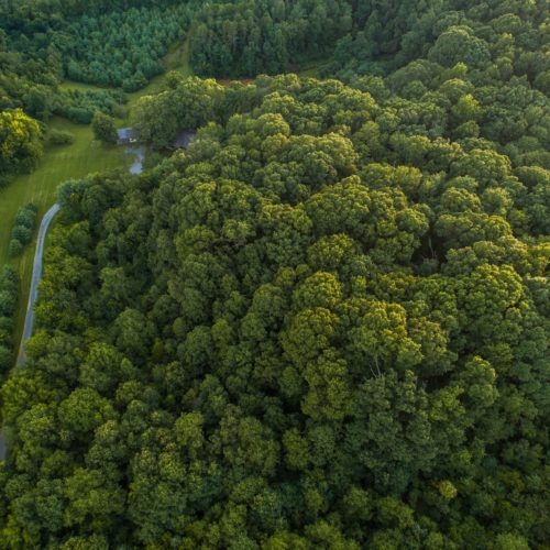
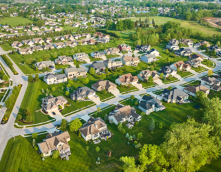
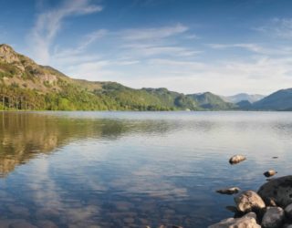
We use high specification UAV-mounted photographic equipment to capture high definition images and video footage of the areas below. Using a UAV means that we can obtain data from locations where access or visibility is limited. The flexibility and ease of deployment of a UAV means that data can be collected rapidly, affordably and at short notice.
Our newest drone is equipped with a multi-spectral camera permitting the capture of imagery across several spectral bands invisible to the human eye alongside the visible bands used in regular photography. Imagery captured in some non-visible bands (for example near infrared and red edge) can be utilised in the analysis of vegetation coverage and health using Normalised Difference Red Edge Index (NDRE) and Normalised Difference Vegetation Index (NDVI). This means we can use our UAV imagery to monitor vegetative health, extent and estimate biomass. Excitingly we are starting to use this technology to identify Ash Dieback!
UAV services
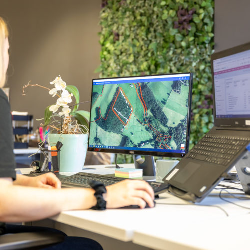
We provide aerial photography supplied as mosaiced georeferenced image files that can be used in any GIS software.
Our experience in UAV flight, GIS techniques and ecological surveys enables us to provide a unique service to not only capture the aerial imagery from a site but also to provide digitised ecological habitat maps for use within Phase 1 habitat surveys (see our Habitat mapping pages)
We are able to undertake ecological surveys such as bat roost inspections and water vole surveys in locations where working at height or use of a boat might make surveying costly or unsafe.
We provide aerial imagery for clients to monitor habitat changes over time, or to monitor and present progress on construction sites.
We provide clients with aerial images and video footage for promotional material for their sites under development.
We process aerial imagery to produce highly detailed 3D point cloud models to help visualise sites for use within the planning process.
You can also experience some of the maps created from our UAV from previous projects with our innovative StoryMap
Thomson’s GIS specialists can also create these StoryMaps for your own projects offering a new and exciting way for you to distribute your data!
To discuss how the UAV services that we offer can help on your project please today!

